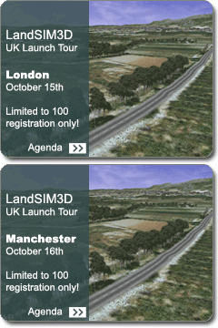
+ Bionatics, the specialist in 3D plant modeling and landscape design has released LandSIM3D®; an simulation and design software for quickly model existing landscape in 3D from GIS data sources. Import your project, visualize its integration in a real site, study its alternatives, its evolution in the future and decide for the best options. Make great presentations of the validated project with realism using realtime 3D.
LandSIM3D can 3d model landscapes from geo-referenced data using GIS data files like Shapefile® in order to make a realistic 3D model of the existing site. The project can then be smoothly inserted with precision in the 3D model. LandSIM3D brings 3D into the earth of the landscape profesionals' traditional design and study methods. (text from site)
>> Bionatics LandSIM3D®